
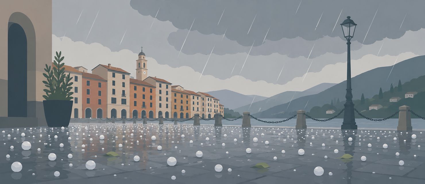
The Po Valley is one of the areas worst affected by hail in all of Europe, and not by accident. The combination of the nearby Alps and heat stored by the Mediterranean creates exactly the conditions needed to produce large hailstones, and this is the season when those conditions show up most often.
What it actually takes to grow a hailstone
A large hailstone does not come out of an ordinary thunderstorm. It needs a storm cell with an unusually strong, sustained updraft, able to hold the stone aloft long enough to add layer after layer of ice, like the layers of an onion. The longer the stone stays suspended in the updraft, the bigger it grows, until it becomes too heavy for even the strongest current to hold.
A hailstone grows through repeated trips up and down inside a storm cell’s updraft, adding one layer of ice on each pass.
Why northern Italy offers ideal conditions
Producing large hail takes updrafts often above 150 km/h (93 mph), a speed reached only in well-organised storm cells called supercells. These form preferentially where warm, humid air meets strong wind shear, a significant change in wind direction and speed with height. Those conditions occur frequently in late summer over the Po Valley, where humid Mediterranean air meets cooler air masses arriving from the north.
The proximity of the Alps amplifies the effect further, because the mountain chain forces additional lifting of the air, creating the conditions for even more intense updrafts.
Why hail is not the same everywhere inside a cell
Inside a supercell, the zone where the largest hail forms is not spread evenly. The heaviest hail core tends to fall in a relatively narrow band, often just beside or behind the track of the strongest updraft, an area meteorologists call the hail corridor. That is why two towns a few kilometres apart can have completely different experiences of the same storm: one hit by golf-ball sized stones, the other getting only heavy rain and no hail at all.
That tight variability in space is also why regional weather alerts, useful as they are, cannot say precisely which individual town inside the alert area will actually take the largest hail.
What the size of a stone really tells you
The size of a fallen hailstone is, after the fact, a direct indicator of the strength of the updraft that held it up. Golf-ball sized stones point to updrafts of roughly 100 km/h (62 mph), while larger stones indicate significantly higher speeds. That is valuable for understanding how intense a given cell really was, regardless of how it looked from the outside.
RainViewer shows the most intense storm cells directly on radar, including the reflectivity values typically associated with large hail.
Track the cell, not just the dark sky
A dark sky on its own says very little about whether a storm will produce hail. The decisive information is in the structure of the cell itself, which radar shows far better, and well before the first stone actually falls.
RainViewer shows storm cells in real time with their full structure, so you can recognise a potentially hail-bearing cell before it reaches a specific area.



 RainViewer
