
Weather alerts in Italy are issued neither by the government nor by the newspapers. They come from the Dipartimento della Protezione Civile, which coordinates the system nationally together with the regional functional centres that turn forecasts into predictions for each territory.
How an alert bulletin is built
Every day, in the early afternoon, a national criticality bulletin is issued describing the risks expected across the country for the next 24 to 48 hours, based on meteorological data collected and processed by the regional functional centres. The bulletin covers several risk types in parallel: floods, landslides, severe thunderstorms, heat waves, hail, strong winds and other hydrogeological and hydraulic hazards.
Italy’s national criticality bulletin is issued every day in the early afternoon, based on forecasts for the following 24 to 48 hours prepared by the regional functional centres.
A feature of the system that few people know is that the same zone can carry different colours for different risks on the same day: yellow for thunderstorms and green for wind, for instance, because each risk type is assessed separately against the phenomena expected.
Four levels, and one important technical detail
The system uses four colours: green, yellow, orange and red, in increasing order of severity. But there is a little-known technical exception: for the severe thunderstorm risk, the highest level available is orange, not red. Thunderstorms intense enough to constitute a high-risk scenario already fall under red criticality for hydrogeological risk, the category that activates when a storm produces direct consequences such as flooding or landslides.
What actually happens behind each colour
Under a yellow code, local services move to a state of watch and follow the situation without activating emergency measures. Under orange or red, the Regional Alert State begins: municipalities, prefectures and volunteer services act according to their civil protection plans, and the functional centre monitors the situation around the clock, publishing updates every few hours.
Under an orange or red code, Italy’s Regional Alert State begins: municipalities and prefectures act on their civil protection plans, and the regional functional centre monitors the situation 24 hours a day.
The role of municipalities in spreading the alert
Once the Dipartimento della Protezione Civile and the regional functional centres have issued the bulletin, the job of informing citizens directly often passes to municipal administrations, which use their own channels such as websites, local apps, loudspeakers or messaging systems. That local step can introduce delays or differences in communication between one town and another, even inside the same regional alert area.
For that reason, relying only on municipal channels to receive a weather alert can mean getting the information some time after the national bulletin was actually issued, which matters for anyone who needs to react quickly to something already on the way.
Why the general bulletin is not enough on its own
A yellow or orange alert covers an entire regional alert zone, which can include many municipalities in very different local situations. Knowing that an area is under an orange alert does not say whether a specific address sits in the most exposed part of it or in a relatively safer spot within the same zone.
Follow the exact alert, not just the general bulletin
Italy’s weather alert system is structured, reliable and updated daily, but a regional bulletin describes a wide area, not a specific street. Seeing the official alert directly on the map, next to live radar, is what makes it possible to understand precisely what is happening at one particular point.
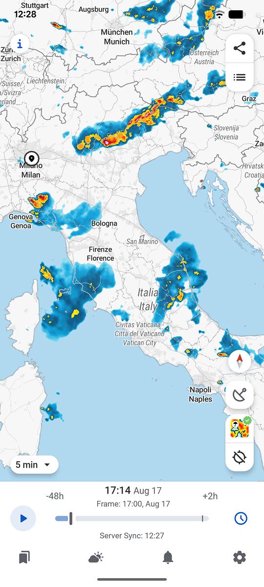
RainViewer shows official Protezione Civile weather alerts directly on the radar map, with the exact colour and the affected area relative to a saved location.



 RainViewer
