
A MetMalaysia thunderstorm warning turns up on phones across the country without many people knowing what really separates one level from the next. The system follows a clear structure, and understanding it makes it far easier to judge the actual risk than glancing at the message alone.
Three levels, three different sets of actions
MetMalaysia uses a tiered warning system for thunderstorms, categorised by the expected severity of the phenomenon, from ordinary thunderstorms with lightning and heavy rain to severe thunderstorms bringing strong winds, very heavy rain and a flash-flood risk. Each level is tied to a different recommended action, from simple caution to avoiding outdoor activity entirely.
Every level of a MetMalaysia thunderstorm warning is tied to a specific recommended action, not just to the severity of the phenomenon but to what to do at that moment.
These warnings are usually issued for particular districts, because thunderstorms in Malaysia are intensely local. One district can be under a serious warning while the district next to it is entirely unaffected at the same time.
Why thunderstorms in Malaysia are so local
Tropical thunderstorms form through convection: warm, humid air rises off a sun-heated surface, cools as it climbs, and builds cumulonimbus clouds where conditions allow. Because that process depends on local conditions such as soil moisture and local wind direction, one area can get a violent thunderstorm while another only a few kilometres away stays completely dry.
That local character is what makes a general state-wide warning less useful than information for a specific location, since the storm forecast for one part of a state may never reach another part at all.
Why one event can carry different levels at the same time
A less well-known feature of the warning system is that the same area can receive different warning levels for different types of phenomena at the same time. A storm might carry a high-level warning for lightning while the wind warning for the same area and period stays lower, depending on whether the expected wind intensity crosses a given threshold. Each type of phenomenon, rain, wind, lightning, is assessed separately even when all of them come from the same weather system.
That split by phenomenon type is what explains why a warning message can look inconsistent at first glance, with several different levels for the same area and the same time.
What a general warning cannot show
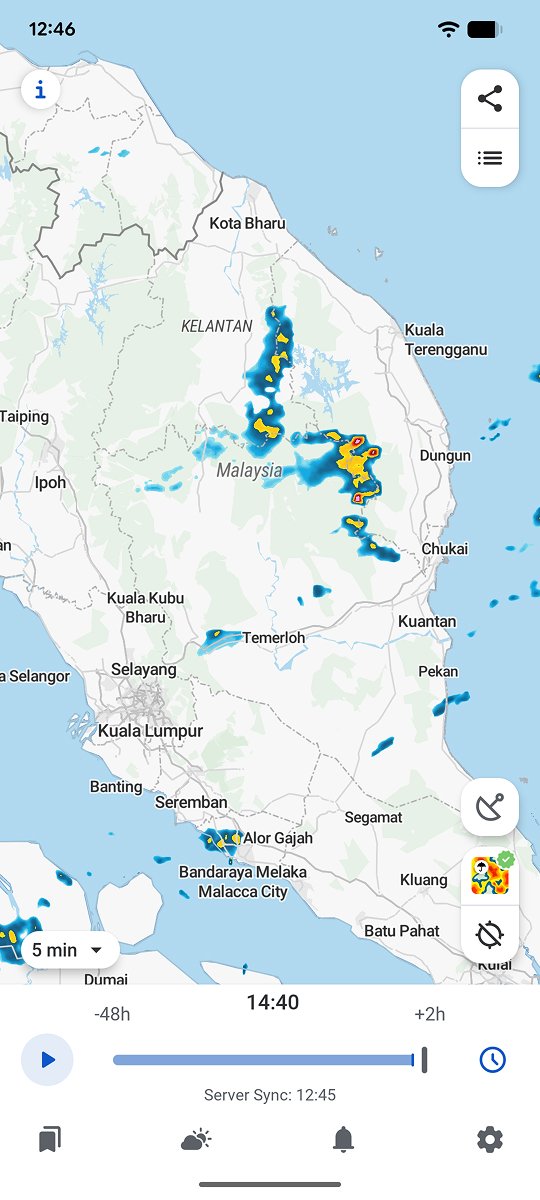
A thunderstorm warning for a district says that risky weather is expected somewhere within that area, but not whether a particular location actually sits in the storm’s path at any given moment. That level of detail takes live radar, not the text of a general warning.
RainViewer shows official MetMalaysia thunderstorm warnings directly on the radar map, with the affected area relative to a saved location rather than just a district name in the message.
Look at the real area, not just the warning message
An official MetMalaysia warning is an important starting point, but it covers a wide area compared with a single location. Seeing the actual warned area on the map, together with live radar, gives a far more accurate picture of the real risk at a specific place.
RainViewer shows official thunderstorm warnings directly on the radar map, so you can see precisely whether a saved location falls inside the warned area.



 RainViewer
