
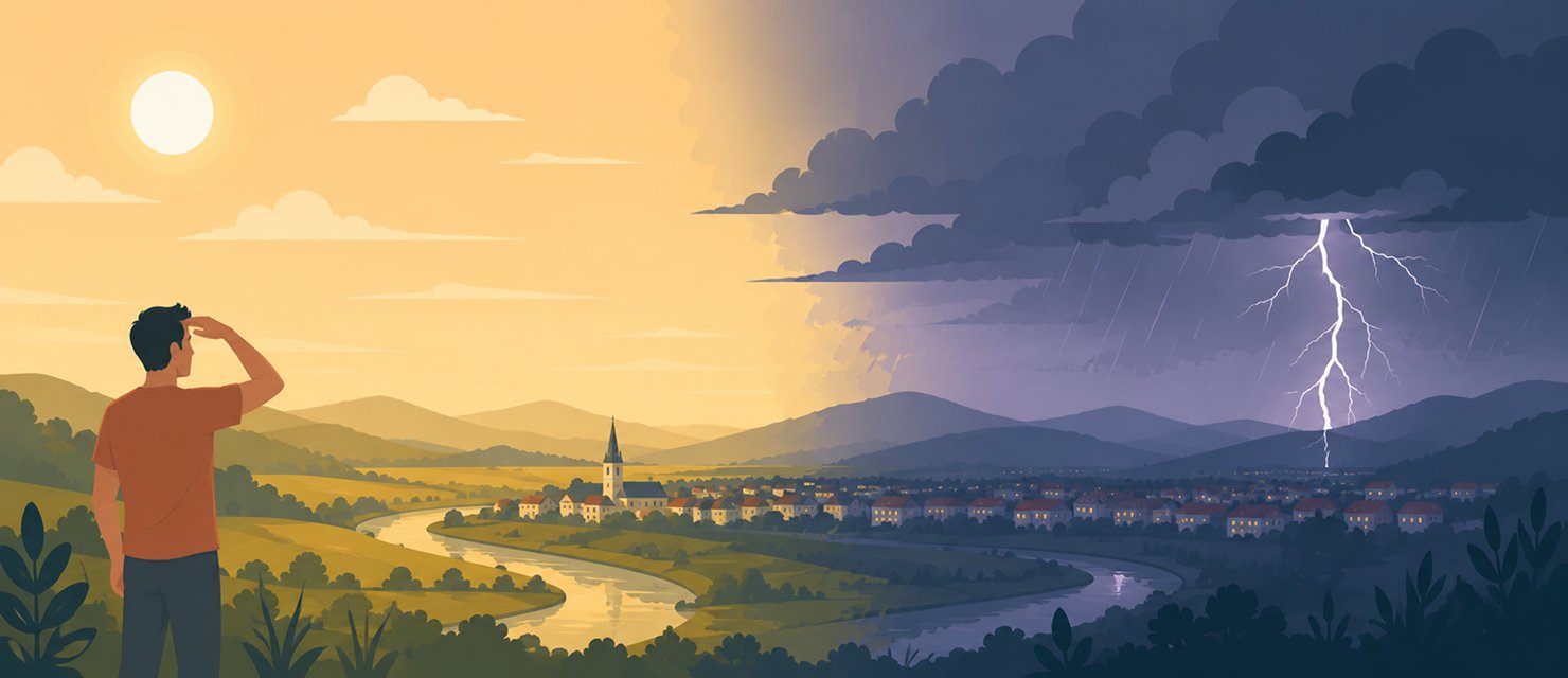
It is no coincidence that an extremely hot day often ends with an evening storm. That is exactly the mechanism producing the storm: the hotter the day, the more energy accumulates for the system that will release it as rain, lightning and wind.
How heat turns into a storm
It starts with warm, humid air rising off the heated ground. As that air climbs, it cools and condenses, forming cumulus clouds. If there is enough moisture and available energy, the cloud keeps developing into a cumulonimbus, the storm cloud proper, which can reach several kilometres in height.
An extremely hot day supplies exactly the thermal energy needed for warm air to rise strongly enough to build a fully developed storm cloud by evening.
The more heat the ground accumulates during the day, the stronger the updraft that forms, and the more likely that initial cumulus cloud is to develop into a real storm by late afternoon or evening.
Why lightning appears at exactly that moment
Inside a mature storm cloud, ice crystals and water droplets collide constantly as they are carried up and down by the strong currents inside. Those collisions separate electrical charge: negative charge accumulates in the lower part of the cloud and positive charge in the upper part. When the difference grows large enough, a discharge occurs, either inside the cloud or between the cloud and the ground.
Why hail only appears in the strongest storms
In an ordinary storm cloud, an ice crystal that forms in the cold upper part falls relatively quickly toward the ground and melts on the way, arriving as rain. In a very intense storm, with an unusually strong updraft, the crystal is carried back up several times before it is finally allowed to fall. On each pass through the layer of supercooled water inside the cloud, a new layer of ice is deposited on its surface, like the layers of an onion, until it becomes heavy enough to fall as hail.
That is why large hail appears only in the best-organised storms, called supercells, and not in every ordinary summer thunderstorm. A weaker cell simply does not have an updraft strong enough to hold an ice pellet aloft long enough to grow significantly.
What the day’s temperature cannot predict
The fact that a day is very hot raises the probability of an evening storm, but it does not guarantee where exactly it will form or how intense it will be. Storm cloud formation depends on specific local factors, such as soil moisture or local wind direction, which means one area can get a powerful storm while another a few kilometres away stays completely dry.
RainViewer shows storm cells in real time on radar, so you can see exactly where a storm is forming rather than the general probability for the day.
Track the storm cell, not just the day’s temperature
The link between a hot day and an evening storm is real and predictable in general terms, but the genuinely useful information is where exactly the storm forms and which way it is moving, something only live radar can show.
RainViewer shows storm cells in real time with their full structure, so you can watch a storm develop before it reaches a specific location.


 RainViewer
