
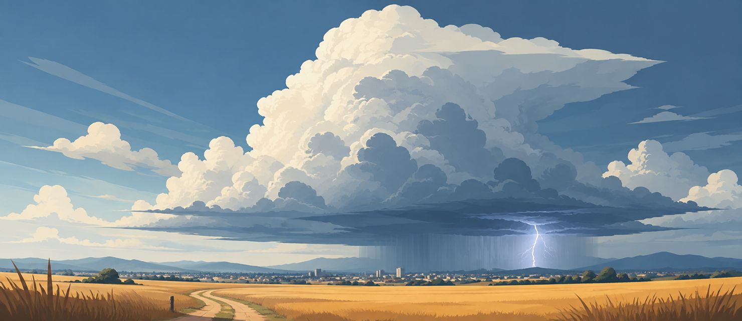
A thunderstorm does not appear out of nowhere. Behind every dark cloud that suddenly covers the sky is a specific, repeatable physical process that usually starts hours earlier, invisible to anyone looking up.
The three stages of a storm cell’s life
It all starts with warm, humid air rising off heated ground. Once that air climbs high enough, it cools and condenses, forming a cumulus cloud. That is the first stage, the developing stage: a growing column of humid air building an ever taller cloud, as long as conditions allow.
A thunderstorm starts with warm, humid air rising and condensing at altitude into a cumulus cloud, the first visible step of the whole cycle.
If there is enough moisture and energy, the cloud develops into a cumulonimbus, the storm cloud proper, which can reach a dozen kilometres (around 40,000 feet) in height. That is the mature stage: strong updrafts carry air upward while, in another part of the cloud, downdrafts start to form and bring precipitation with them. This stage produces the most intense weather: torrential rain, hail, strong wind gusts and lightning.
The dissipating stage arrives when downdrafts start to dominate updrafts. Falling precipitation cuts the cell off from the warm air that was driving it, much the way cold air smothers a fire by cutting off its fuel supply. The cloud gradually loses structure and breaks apart.
Why lightning belongs to that middle stage
Lightning comes from friction between ice crystals and water droplets rising and falling inside the storm cloud, which separates electrical charge. That charge separation is most intense in the mature stage, when updrafts and downdrafts coexist most strongly in the same cloud, which is why most lightning is observed in the middle of a storm’s life cycle rather than at its beginning or end.
Where hail comes from inside a storm
In the mature stage, strong updrafts can carry ice crystals up and down repeatedly inside the cloud instead of letting them fall straight out as rain. On each pass through the layer of supercooled water, the crystal collects another layer of ice, much like the layers of an onion. The longer the updraft holds a hailstone up, the bigger it gets, until it is heavy enough that even the strongest updraft cannot support it.
That explains why large hail only appears in the strongest, best-organised storm cells, not in every storm. A weaker cell simply does not have an updraft strong enough for a stone to grow to any real size before it falls.
Why one storm sometimes returns to the same spot
A single storm cell normally moves along and dissipates within an hour or two. Sometimes, though, new cells form over the same spot one after another, which locally produces far more rainfall than a typical single storm. That process, known as cell regeneration, is one of the main causes of local flooding even when the general forecast pointed to nothing unusual.
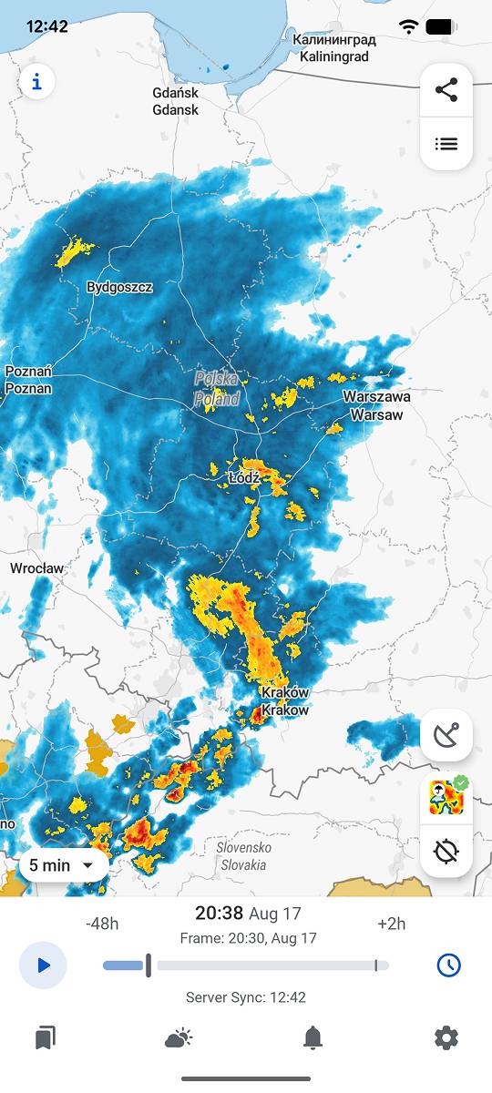
RainViewer shows storm cells in real time on radar, so you can see whether a cell is moving on or regenerating over the same place.
Track the cell, not just the darkening sky
A darkening sky says very little about how intense the coming storm will be or how long it will last. That information is visible in the structure of the cell itself on radar, long before the first raindrop reaches the ground.
RainViewer shows storm cells in real time with their full structure, so you can tell which stage of its life cycle a storm is in before it reaches a specific location.



 RainViewer
