
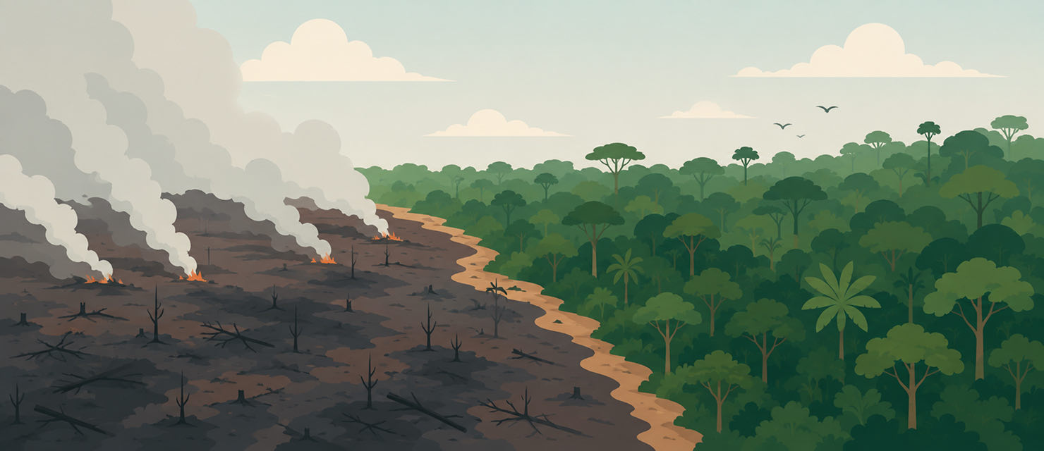
Not every fire in the Amazon is the same, and not every fire season is equally intense. The seasonal pattern repeats every year, but the magnitude of each season depends on factors that go beyond the calendar: the level of accumulated deforestation, the drought conditions of that particular year, and the environmental enforcement in place.
The arc of deforestation holds most of the fire
The geographical distribution of Amazon fires is not uniform. The largest concentration of hotspots is in the region known as the arc of deforestation, a belt running along the south and east of the Legal Amazon and covering parts of Para, Mato Grosso, Rondonia and Acre. That is where the agricultural frontier pushes hardest into native forest, and where fire is used both to clear land already felled and, in many cases, for illegal clearing dressed up as farm management.
Most fire hotspots in the Legal Amazon concentrate in what is called the arc of deforestation, the southern and eastern belt of the forest where the agricultural frontier advances into native vegetation.
That geographical distribution matters, because it means intact and well-preserved primary forest burns far less than areas already fragmented or sitting on the edge of cleared land. Fire rarely starts spontaneously in the middle of dense forest. It advances from the edges, where the vegetation has already been altered and is drier.
Why the intensity varies so much from year to year
The seasonal pattern, drought between May and October, is constant. The intensity is not. Years with El Nino tend to bring more severe drought to the Amazon, which dries the vegetation further and raises the flammability of the organic material accumulated on the forest floor. That creates conditions in which any ignition source is more likely to turn into a large-scale fire that is harder to control.
The level of deforestation accumulated in previous years also directly affects the intensity of the following season. Freshly cleared areas, with vegetation still dry and piled up, are particularly vulnerable to fire in the first years after felling. That creates a cycle in which one year’s deforestation feeds the next year’s fire risk.
Why primary forest resists fire better
An intact, well-preserved tropical forest has far greater natural resistance to fire than degraded land. The dense canopy keeps the interior more humid and shaded from direct sunlight, making it hard for any ignition source to spread. When that cover is broken by clearing, whether partial or total, sunlight reaches the ground and the undergrowth directly, drying the environment in a way the original forest would never allow.
This is one of the reasons fire rarely poses a real threat to fully intact Amazon forest, yet becomes a growing risk precisely at the edges and in areas already fragmented by human activity, reinforcing the direct relationship between past deforestation and vulnerability to future fires.
What satellite data shows, and what it does not
Satellite monitoring, such as the work INPE does through the Programa Queimadas, detects heat hotspots in near real time, which makes it possible to follow a season day by day. But a heat hotspot seen from orbit does not automatically distinguish between legal controlled burning, illegal clearing disguised as management, and a genuinely out-of-control forest fire. That distinction requires investigation on the ground, which does not always keep pace with satellite detection.
RainViewer overlays smoke data on the radar layer, making it possible to see at the same time where it is raining and where fire smoke is concentrating in the same region.
Follow the smoke in real time, not just the season summary
Understanding the general pattern of the fire season helps in reading the news that comes out each week, but it does not replace following the actual state of the air at one specific location. Smoke from a distant fire can move quickly as wind patterns change, altering a city’s air quality in a matter of hours.
RainViewer shows the smoke layer over live radar, so it is possible to follow at the same time where it is raining, which can help disperse the smoke, and where the smoke is gathering.


 RainViewer
