
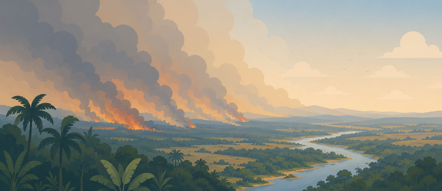
Every year, between August and October, the number of fires in Brazil jumps. It is neither a coincidence nor a new phenomenon. It is the direct result of the end of the dry season across much of the Cerrado, the Amazon and the interior of the Southeast, combined with decades of using fire as a tool for managing farmland and pasture.
The dry season as the backdrop
Across much of central and northern Brazil, the dry season runs roughly from May to September. Through those months the vegetation loses moisture steadily, the soil dries out, and the accumulated dead organic material becomes ever more flammable. August and September mark the most critical point of that cycle: this is when the vegetation is at its driest and the chance that any ignition source, natural or human, turns into a large-scale fire is highest.
The dry season across Brazil’s Centre-West and North runs from May to September, with August and September holding the peak of the driest vegetation and, as a result, the largest number of fire hotspots.
Very few large fires in Brazil start by spontaneous combustion. Most are started by people, whether clearing pasture, preparing ground for planting, or burning that gets out of hand. The dry season does not cause the fire directly. It creates the conditions that turn a small ignition source into a fire able to spread rapidly across large areas.
Why the smoke travels so far
One feature of Brazilian fires that surprises people from outside the region is the reach of the smoke. Fires in the Centre-West and the Amazon can produce smoke that covers the sky of cities hundreds of kilometres away, including state capitals with no fire anywhere nearby. This happens because the smoke disperses into the middle layers of the atmosphere and is carried by the prevailing dry-season wind patterns, which tend to be more stable and more persistent than during the rainy season.
The result is that exposure to fire smoke is not limited to people living near the flames. Large urban centres far from the source of a fire can record a significant deterioration in air quality for weeks on end, without a single fire hotspot inside the city limits.
Why some areas burn over and over
Areas that were already cleared and burned in previous years tend to carry an even higher fire risk in the years that follow. The secondary vegetation that grows back on altered ground is usually drier and more flammable than intact primary forest, creating a cycle in which an area burned once becomes more vulnerable to new fires in future, even with no further direct clearing.
That pattern of recurrence is one of the reasons fighting fires cannot be limited to putting out active blazes during the dry season. Long-term prevention also depends on stopping already weakened areas from catching fire year after year, a cycle that feeds itself if nothing intervenes.
What the dry-season calendar does not show
Knowing that August and September are the peak months helps in understanding the general pattern, but it says nothing about the air quality in one specific neighbourhood on one specific day. Smoke concentration can vary dramatically from one day to the next depending on wind direction and how close new active fires are, even within the same dry season.
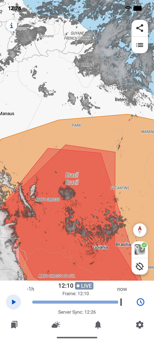
RainViewer combines live radar with smoke data, showing when a plume of smoke is approaching one specific location, rather than only where the fire itself is burning.
Follow the smoke, not just the season
The fire season is predictable on the calendar and unpredictable day to day. Knowing that August and September carry elevated risk is the first step. The second is following the actual state of the air at one specific location, because smoke from a fire hundreds of kilometres away can arrive without notice.
RainViewer shows smoke and air quality data in real time, which makes it possible to see when a plume is moving toward a saved location, before the sky starts to darken.

 RainViewer
