
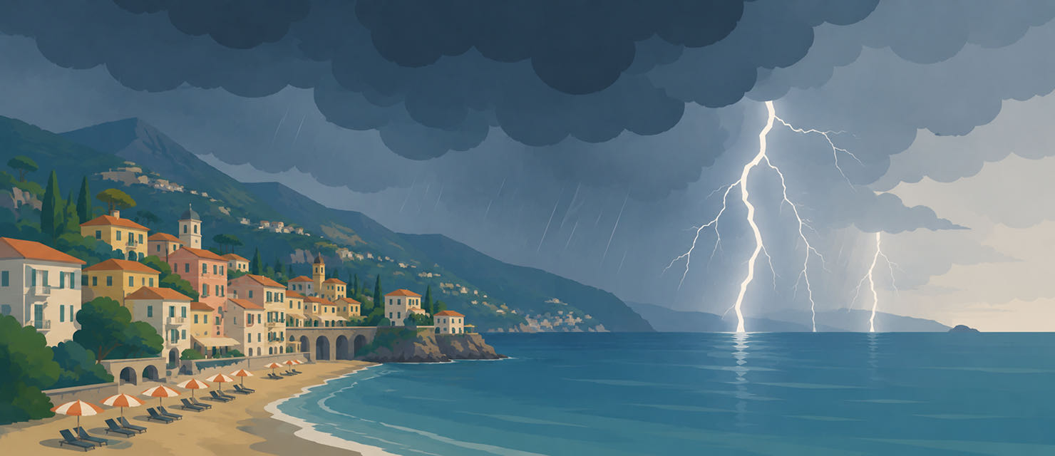
Germany is one of the largest source markets for holidays in Italy, and peak travel season, from August into September, is exactly when Italy regularly sees some of its most violent storms of the year. Anyone planning a trip or already there is better off knowing why these systems form at this time of year and how to keep track of them.
Why late summer is the critical window
Through high summer, the Mediterranean stores an enormous amount of heat. That heat evaporates moisture into the atmosphere, and the longer the summer runs, the more energy is available for storm cells to build on. When that warm, humid air meets an incursion of cold air from the north, something that becomes steadily more common in late summer and early autumn, the conditions are set for particularly violent thunderstorms with torrential rain, hail and damaging gusts.
Northern Italy, and the Po Valley in particular, is one of the most hail-prone stretches of land in Europe. The combination of proximity to the Alps, which adds extra lift, and the stored heat of the Mediterranean makes the region especially prone to supercells producing large hail.
Northern Italy and the Po Valley are among the most hail-prone regions in Europe, a consequence of Alpine lift combined with the heat the Mediterranean has stored by late summer.
How quickly these systems develop
Unlike broad frontal systems that announce themselves days in advance, individual storm cells in the Mediterranean can form and fade within a few hours. For a traveller that means a sunny morning says very little about the afternoon. Italy’s weather services do issue daily warnings, but the lead time on any single cell often stays short.
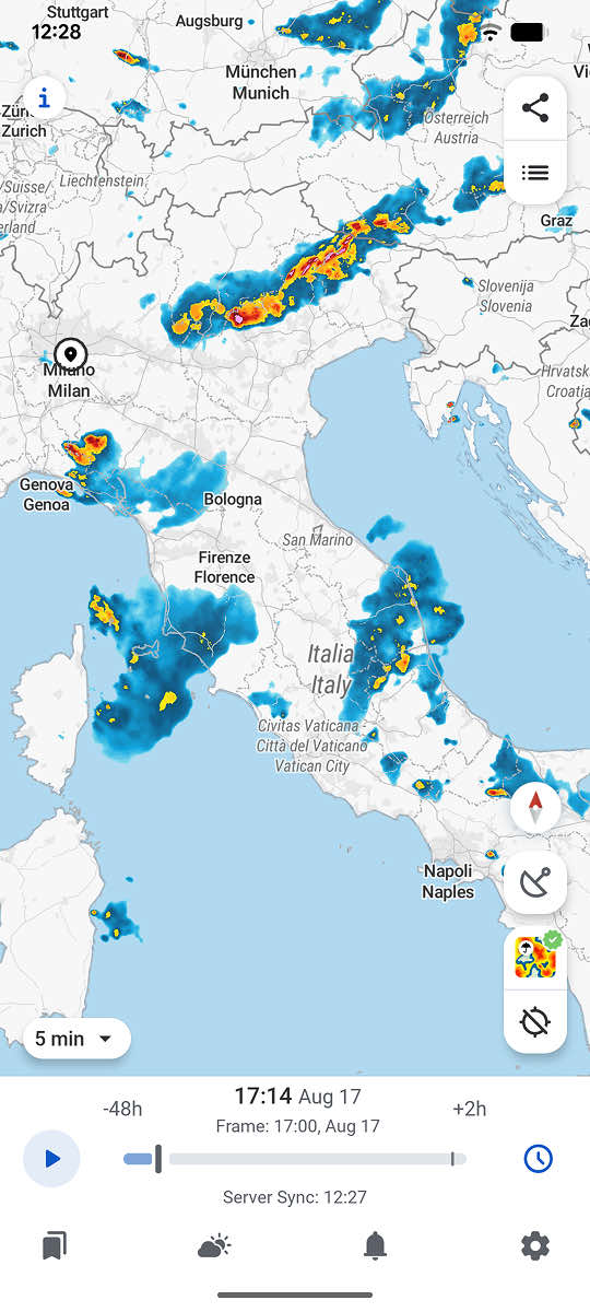
The real risk is rarely in predicting the overall pattern, which is well understood, but in pinning down the location. A storm can hit one town on the Adriatic coast while the sun is out thirty kilometres (19 miles) away.
Why the Adriatic coast behaves differently
Alongside the Po Valley, the Adriatic coast is Italy’s second major late-summer storm hotspot, though for a slightly different reason. Here moisture coming straight off the sea meets the heat of the coastal plain, which often produces isolated but very intense cells that form along the coast and can travel a long way inland. These cells tend to develop in the late afternoon or early evening, once the land has been absorbing heat all day.
For anyone staying on the Adriatic coast that means the critical part of the day is often not the hottest stretch of the afternoon, but the hours that follow, when the heat taken up during the day discharges as a storm.
What a warning at home does not cover
Most people check the weather where they live by default, and not where they are going until they get there. That gap is where the nastiest surprises come from: arriving in Italy on the same day as a severe weather warning that could have been visible days earlier, had the destination rather than the home address been the one being watched.
RainViewer shows official severe weather warnings for every European country on the same map, so a holiday destination can be monitored exactly like a home address.
Watch the destination, not just home
A late-summer holiday in Italy does not automatically mean a storm will disrupt the trip. Most days stay quiet. But the region is among the most storm-prone in Europe in precisely this window, and checking the weather at the destination only after arriving throws away useful lead time.


 RainViewer
