Pro Radar
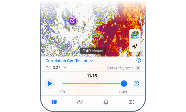
The Pro Radar map layer gives you access to individual radar stations, specialised radar products, and tilt angle control.
For more information about each radar product, see Available Pro Radar Products.
Basic Radar vs Pro Radar
Not all radar stations appear as Pro on the map. Here’s why:
- Regional Coverage Varies: We don’t currently have Pro data for every region. Availability depends on local radar infrastructure, and coverage will expand over time.
- Data Depth Differs by Site: Some radar stations provide only basic data. Others support enhanced Pro features such as advanced radar products and tilt angle control.
How to Use
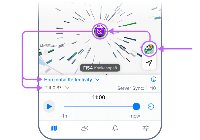
- Open the Pro Radar layer.
- Choose a radar station on the map.
- Tap the radar product label (e.g., “Reflectivity”).
- Choose a product and tilt angle.
- Zoom and pan to analyse storm structure in real time.
Tilt Angle Control
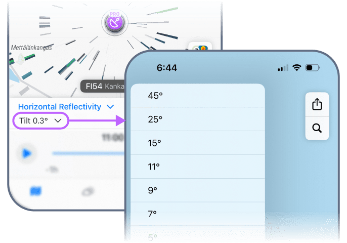
The radar tilt angle determines how high a radar beam scans the atmosphere. At the lowest angles (0.3°–0.5°), you’ll detect ground-level rain early, but you’ll also pick up noise from buildings or trees. Storms close to the radar? They might sit higher than this beam can see.
Pro Radar provides every available tilt angle, revealing the full structure of the storm.
- –0.3° to 0.5°: Surface-level precipitation. Maximum range for scans.
- 1.5° to 3°: Mid-range precipitation + updrafts, hail cores, storm rotation.
- 4–10°: Short-range precipitation + storm tops and growth.
- 10°–90°: Near-radar precipitation + full storm height and structure.
 RainViewer
