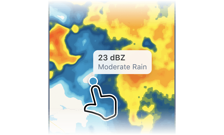
Tap For Details
Tap anywhere on the map to instantly "translate" what's happening in the precipitation layer. For example, which precipitation type is hidden behind a specific colour (rain, hail, snow, etc.), or what the temperature is at a given location.
The details shown depend on the active layer:
- Pro Radar, Radar, Satellite+, Forecast 72h layers - dBZ and precipitation type
- Satellite layer - Brightness Temperature (K)
- Radar + Satellite layer - Brightness Temperature (K) and dBZ
- Temperature layer - air temperature (°C or °F)
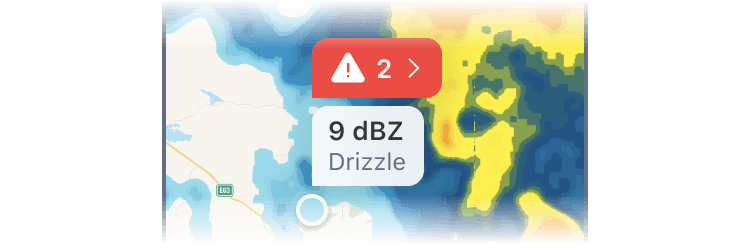
National Weather Alerts
If there are any National Weather Alerts in the tapped area, they will also appear in the information panel. Tap on the alert to see its details.
 RainViewer
