
We’re excited to announce a major RainViewer update: PRO Radar . With this release, RainViewer now offers advanced radar products previously reserved for experts and specialized platforms, making them accessible and intuitive for everyday weather trackers.
To help you get the most out of these new tools, we’ve prepared a series of blog posts. These posts cover the most popular radar products now available in the PRO version. Whether you’re new to weather data or already tracking storms, these posts will help you read radar better and make smarter forecasts.
In this first spotlight, we’re diving into two of the most useful and foundational radar products: Horizontal Reflectivity and Vertical Reflectivity.
What’s the difference? When should you use one over the other? And how do they complement each other to reveal the full structure of a storm? Let’s take a closer look.
Reflectivity: The Foundation of Radar Analysis
Radar reflectivity measures the strength of the radar signal returned from targets in the atmosphere, primarily precipitation particles like raindrops, snowflakes, or hail. The higher the reflectivity (measured in dBZ), the more intense or dense the precipitation.
But not all reflectivity views are created equal. The orientation of the radar scan, horizontal versus vertical, makes a big difference in data display and interpretation.
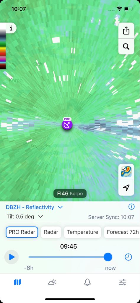
Horizontal Reflectivity (ZH): The Familiar Radar View
If you’ve ever opened a weather radar map , RainViewer included, you’ve almost certainly seen horizontal reflectivity. It’s the most common product used in precipitation tracking.
What is horizontal reflectivity?
ZH represents the reflectivity data from radar beams sent out and received horizontally. It captures precipitation intensity at a set angle above the ground, often around 0.5°, providing a near-surface view of the atmosphere.
What does it show?
- The location, intensity, and movement of precipitation.
- Classic weather radar signatures like squall lines, hook echoes, and precipitation shields.
- Estimated rainfall and snowfall based on return values.
When to use horizontal reflectivity?
- For general tracking of rain, snow, or storms in real time.
- When checking if precipitation is about to hit your area.
- To monitor the shape and evolution of a weather system on the map.
In short, horizontal reflectivity gives you the top-down overview, which is perfect for following storm movement and estimating surface conditions.
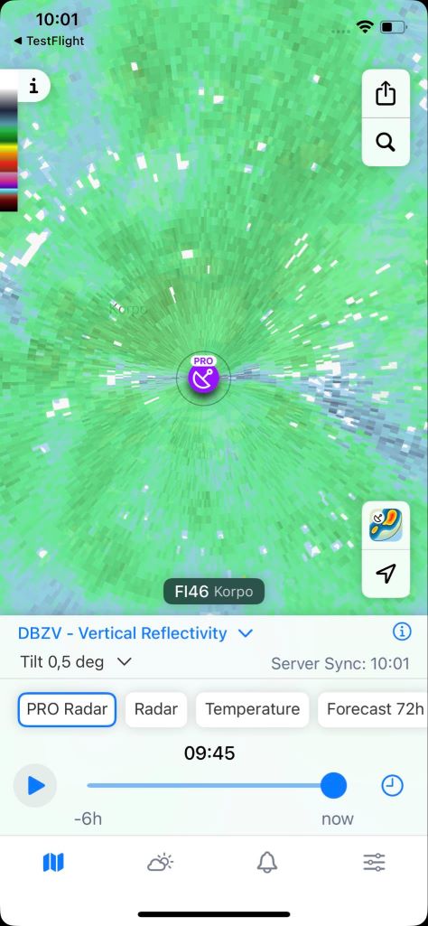
Vertical Reflectivity: A Cross-Section Through the Storm
The vertical view is a game-changer and a standout feature of RainViewer PRO Radar.
What is it?
Vertical reflectivity takes the 3D volume of radar data and slices it vertically. This cross-sectional view reveals the distribution of precipitation at different heights, showing the vertical structure of a storm. It’s like peeling back the layers of a thunderstorm and examining it from the side.
What does vertical reflectivity show?
- The depth and height of precipitation cores.
- Strong updraft regions and storm growth trends.
- Clues to hail potential and storm severity.
- Vertical asymmetries, which can indicate shear or storm tilt.
When to use vertical reflectivity?
- To spot developing convection before it appears intense at the surface.
- To detect high-altitude reflectivity spikes - often signs of hail.
- To estimate storm strength based on height and vertical growth rate.
This feature is especially powerful for dissecting fast-growing thunderstorms or understanding why some cells intensify while others collapse.
Comparing the Two: Why Both Views Matter
Think of horizontal reflectivity as the map and vertical reflectivity as the profile.
- ZH (horizontal) tells you where it’s raining and how hard.
- Vertical tells you how high, how organized, and potentially how dangerous that rain is.
Used together, they help you answer more advanced forecasting questions:
| Question | Reflectivity | Why |
|---|---|---|
| Is this just a rain shower or a thunderstorm? | Vertical | Storms with strong vertical structure are more likely convective. |
| Will this storm intensify soon? | Vertical | Rapid growth in echo tops suggests strengthening. |
| Will this precipitation reach the ground? | Horizontal | Shows surface-level intensity. |
You don’t have to be a trained meteorologist to use both. But using both helps you think like one.
Start Exploring Now
With the release of PRO Radar, RainViewer now empowers users to go beyond surface-level precipitation maps. You can dissect storms, evaluate their vertical structure, and forecast with more accuracy and confidence. Ready to go deeper? Open RainViewer PRO and explore the storm from every angle.


